Top schools and room to grow, all in one West County suburb.
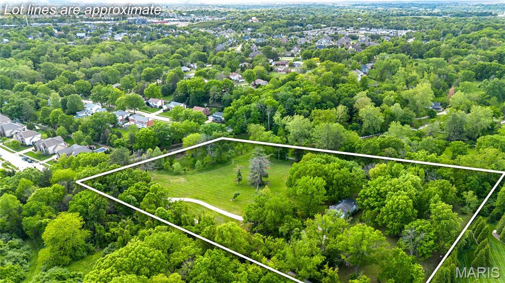
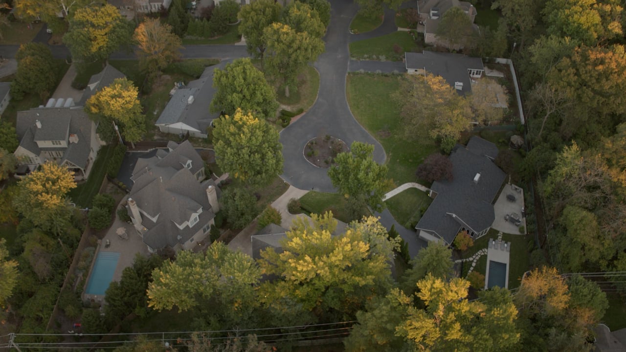
Chesterfield is one of West County's biggest suburbs, 33.52 square miles and nearly 50,000 residents, Missouri's 14th most populous city. Established neighborhoods, major shopping, top school districts, and hundreds of acres of parkland all fit inside it, without any one of them defining the whole place.
Quick facts:
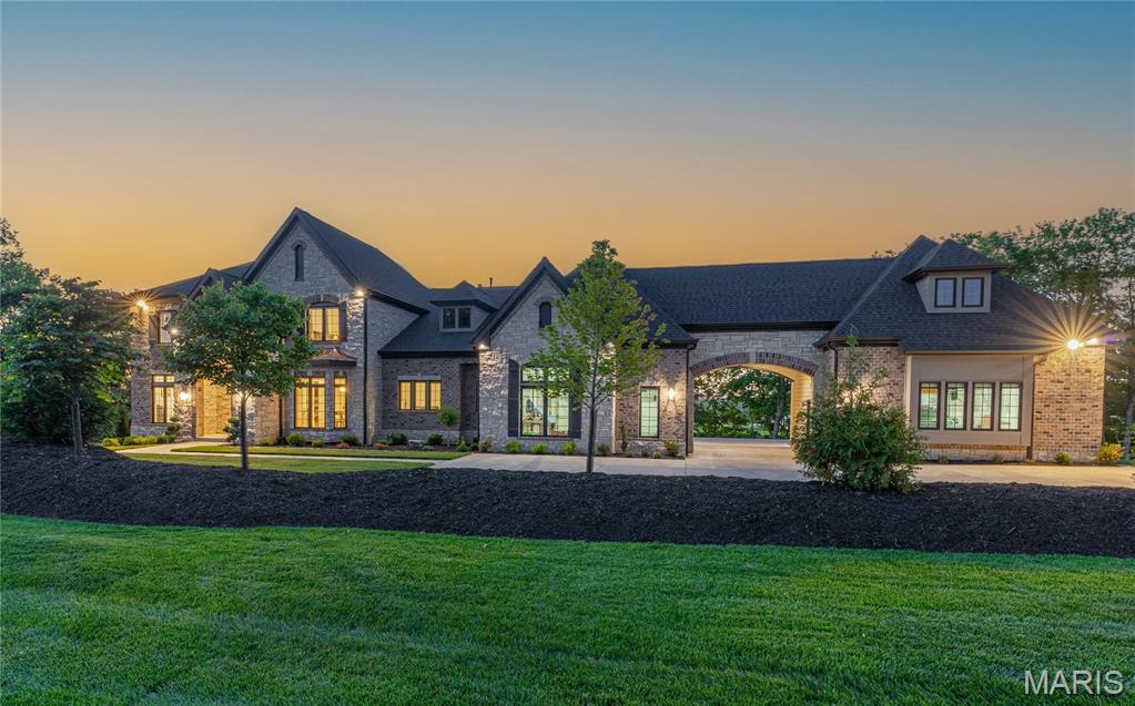
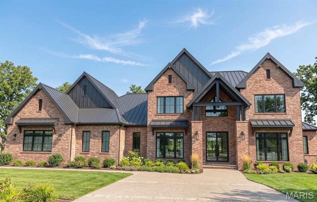
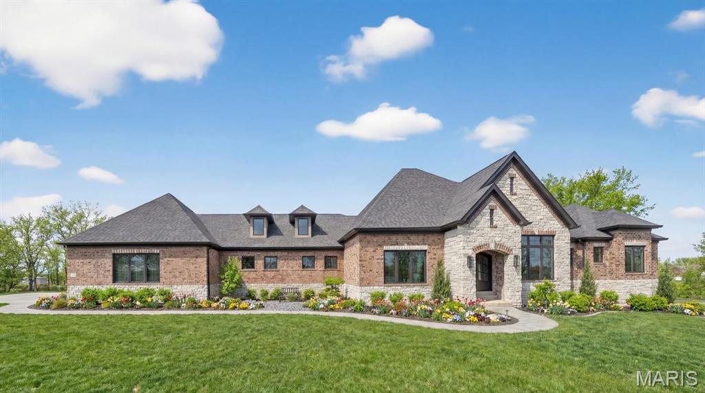
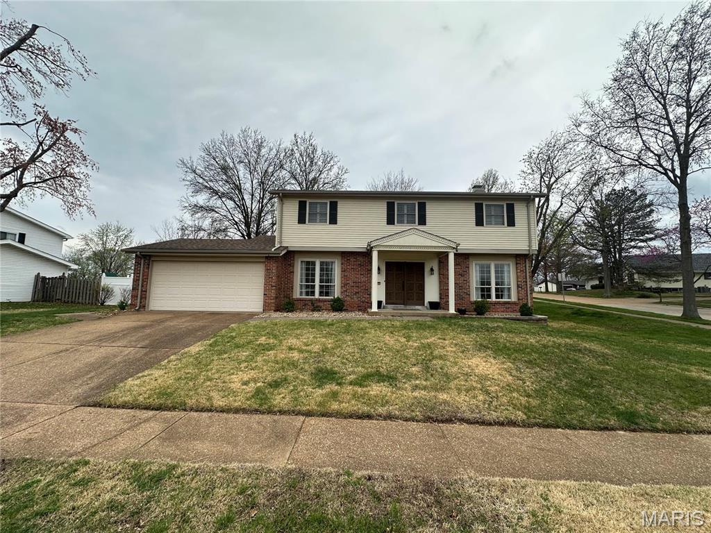
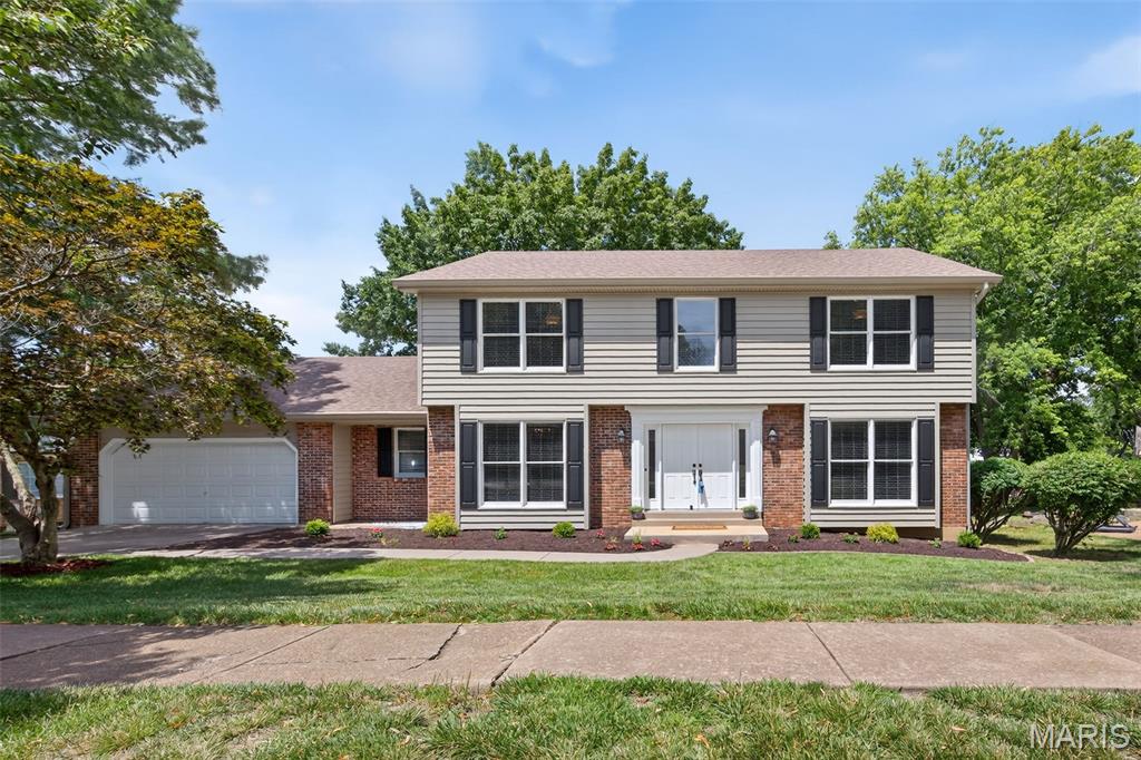
With more than 33 square miles to work with, Chesterfield's housing stock covers a lot of ground: established subdivisions from the 1970s and 80s, newer construction along the valley's edges, and everything in between. It's less about one architectural style and more about choice, there's a Chesterfield price point and floor plan for a lot of different buyers.
Faust Park's 200 acres center on Thornhill, the 1819 estate of Frederick Bates, Missouri's second governor, now a historic landmark you can actually walk through. The park also holds a carousel built in the 1920s and rescued after a fire destroyed its original home in Forest Park, plus the Missouri Botanical Garden's Butterfly House, trails, a lake, and a full calendar of concerts, food truck nights, and Halloween hayrides.
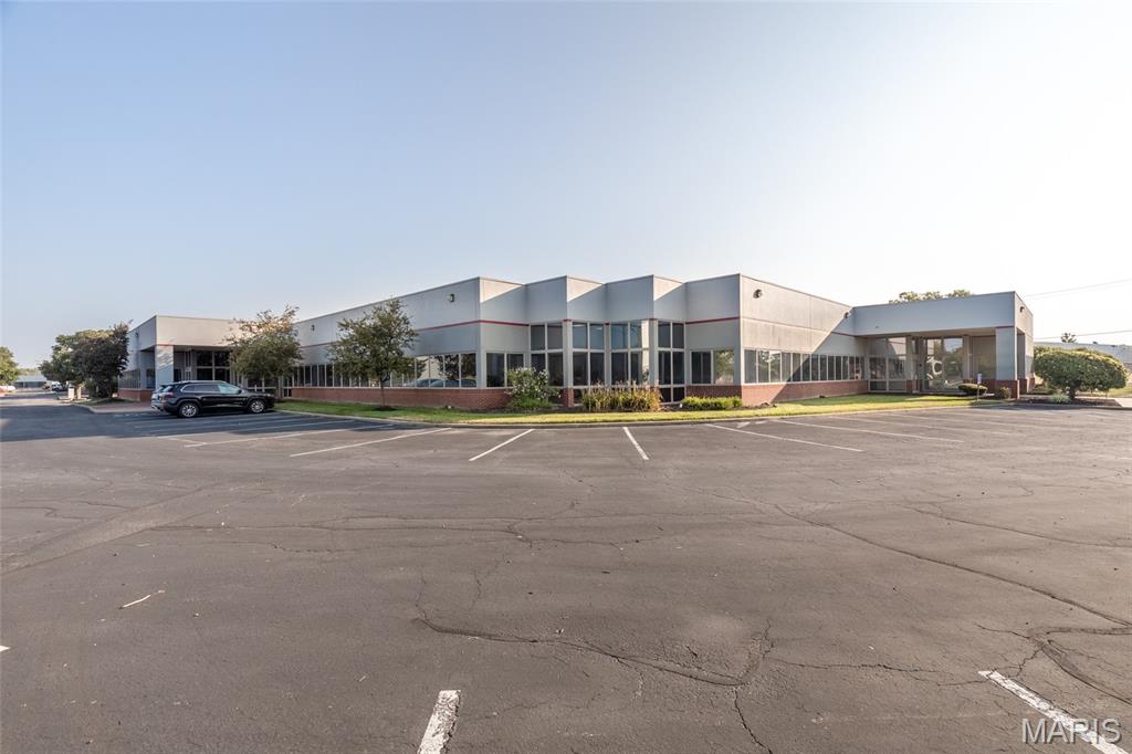
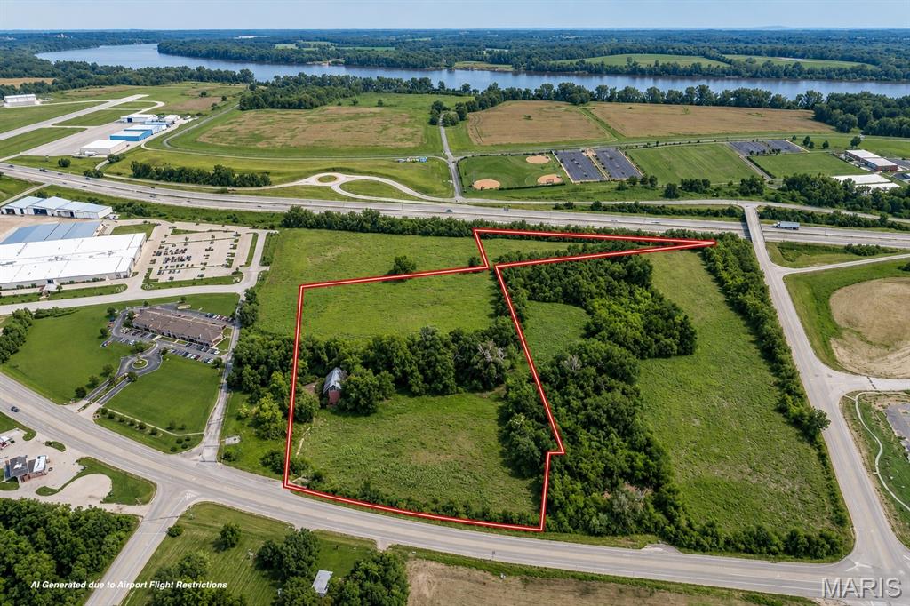
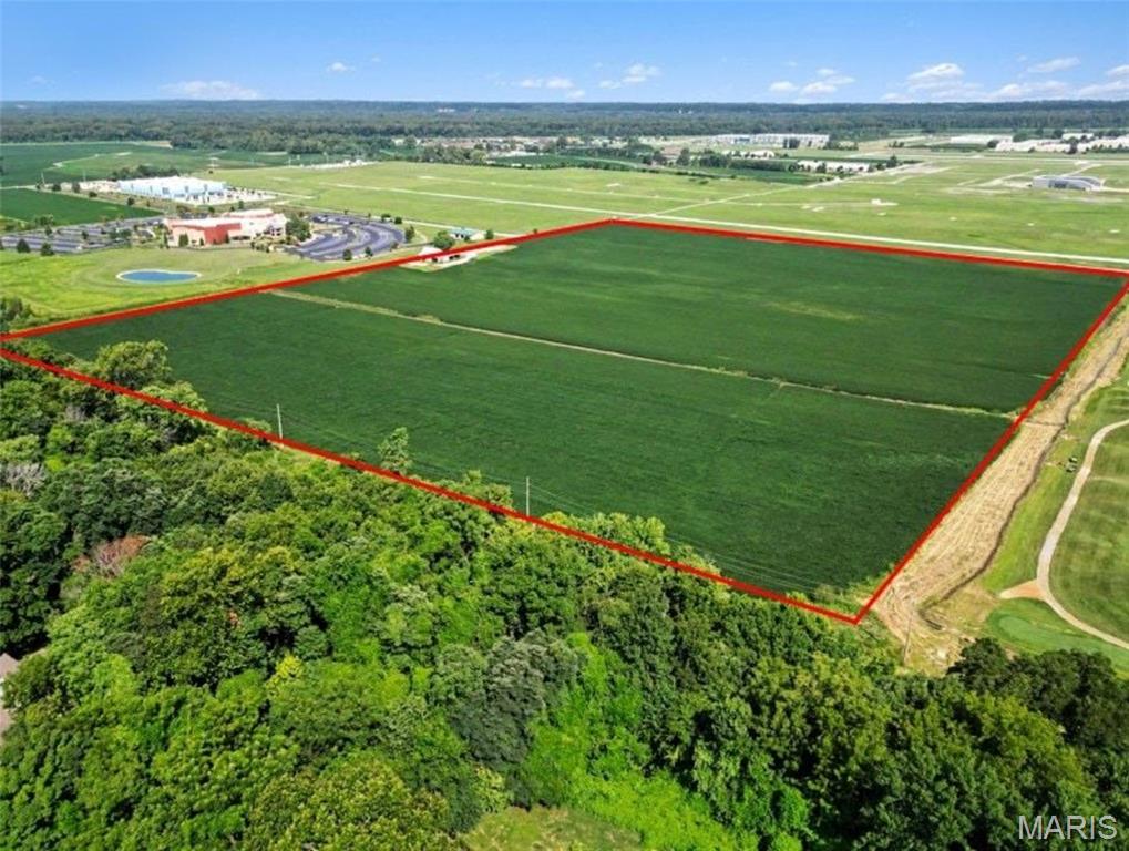
The flatland along the Missouri River is Chesterfield Valley, redeveloped over the last three decades into one of the region's biggest retail and business corridors: outlet shopping, big-box stores, corporate offices, and the Spirit of St. Louis Airport all sit where farmland used to be. It gives Chesterfield a commercial base most suburbs its size don't have, right alongside its residential neighborhoods.
Chesterfield's name goes back to 1815, when landowner Justus Post named the area after his New Hampshire hometown, though for most of the 20th century it was really an unincorporated patchwork of small communities: Bellefontaine, Lake, Gumbo, Monarch, and Bonhomme among them. Residents voted to incorporate as a single city in 1988. Five years later, a levee failure flooded the valley below, and the decades since have turned that floodplain into Chesterfield Valley's retail and business corridor.
Partner with a team that's earned it: three-time A-List winner for Best Real Estate Agent in St. Louis (2024, 2025, and 2026), with decades of experience and over 1,000 successful transactions across West County's largest and fastest-growing suburbs.
Explore available listings in the area.
62,753 people live in Chesterfield, where the median age is 47.1 and the average individual income is $84,564. Data provided by the U.S. Census Bureau.
Total Population
Median Age
Population Density Population Density This is the number of people per square mile in a neighborhood.
Average individual Income
There's plenty to do around Chesterfield, including shopping, dining, nightlife, parks, and more. Data provided by Walk Score and Yelp.
Explore popular things to do in the area, including Imo's Pizza, Bull Market, and Stock Yards St Louis.
| Name | Category | Distance | Reviews |
Ratings by
Yelp
|
|---|---|---|---|---|
| Dining | 0.92 miles | 24 reviews | 3.8/5 stars | |
| Dining | 1.23 miles | 0 reviews | 0/5 stars | |
| Dining | 1.23 miles | 0 reviews | 0/5 stars | |
| Dining · $$ | 1.28 miles | 26 reviews | 4.5/5 stars | |
| Dining · $$ | 1.29 miles | 485 reviews | 4/5 stars | |
| Dining | 1.32 miles | 5 reviews | 5/5 stars | |
| Dining · $$ | 1.42 miles | 29 reviews | 4.2/5 stars | |
| Dining · $$ | 1.5 miles | 61 reviews | 4/5 stars | |
| Shopping | 1.17 miles | 0 reviews | 0/5 stars | |
| Shopping | 1.18 miles | 63 reviews | 4.7/5 stars | |
| Shopping | 1.28 miles | 0 reviews | 0/5 stars | |
| Shopping | 1.45 miles | 1 review | 5/5 stars | |
| Active | 0.35 miles | 0 reviews | 0/5 stars | |
| Active | 1.12 miles | 0 reviews | 0/5 stars | |
| Active | 1.2 miles | 51 reviews | 3.4/5 stars | |
| Active | 1.27 miles | 1 review | 5/5 stars | |
| Active | 1.28 miles | 15 reviews | 4.9/5 stars | |
| Active | 1.37 miles | 0 reviews | 0/5 stars | |
| Active | 1.41 miles | 8 reviews | 1.5/5 stars | |
| Active | 1.42 miles | 0 reviews | 0/5 stars | |
| Active | 1.45 miles | 4 reviews | 5/5 stars | |
| Beauty | 1.22 miles | 2 reviews | 1/5 stars | |
| Beauty | 1.23 miles | 0 reviews | 0/5 stars | |
| Beauty | 1.42 miles | 0 reviews | 0/5 stars | |
|
|
||||
|
|
||||
|
|
||||
|
|
||||
|
|
||||
|
|
Chesterfield has 25,005 households, with an average household size of 2.525. Data provided by the U.S. Census Bureau. Here’s what the people living in Chesterfield do for work — and how long it takes them to get there. Data provided by the U.S. Census Bureau. 62,753 people call Chesterfield home. The population density is 1,704 and the largest age group is Data provided by the U.S. Census Bureau.
Total Population
Population Density Population Density This is the number of people per square mile in a neighborhood.
Median Age
Men vs Women
Population by Age Group
0-9 Years
10-17 Years
18-24 Years
25-64 Years
65-74 Years
75+ Years
Education Level
Total Households
Average Household Size
Average individual Income
Households with Children
With Children:
Without Children:
Marital Status
Blue vs White Collar Workers
Blue Collar:
White Collar:
Partner with a team that values honest advice, strategic guidance, and exceptional service. With decades of experience and over 1,000 successful transactions, we're committed to helping you achieve your real estate goals with confidence.
Planning a move? Thinking about selling? Want to talk real estate?
Dawn Griffin Group
3636 S Geyer Rd Ste #100 St. Louis, MO 63127